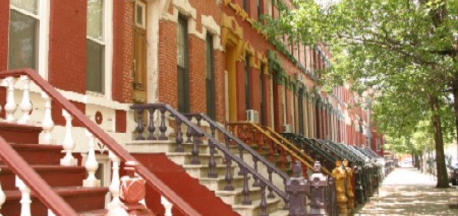
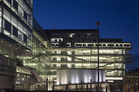
The District is located on East 139th and East 140th Street between Brook and Willis Avenues. It contains rows of handsome brownstones designed by William O’Gorman and William Hornum in 1883 combining Dutch and Flemish architectural aspects on the north side of E.140th Street and neo-Grecian aspects on the south side of E.140th Street and on E.139th Street.
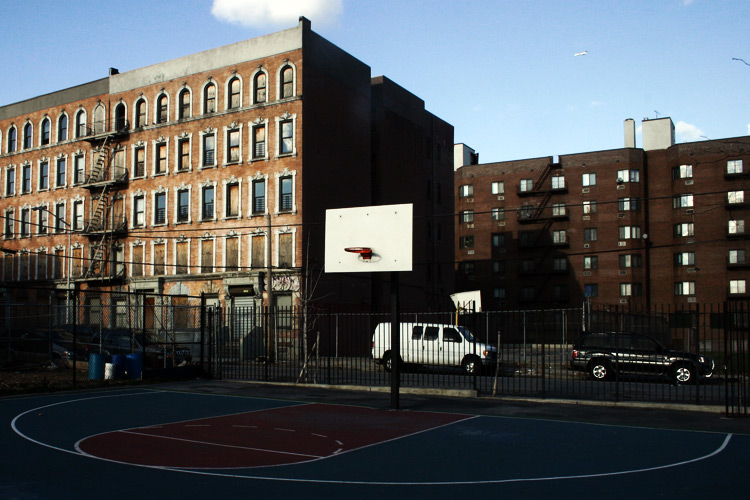
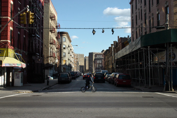
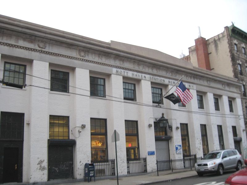
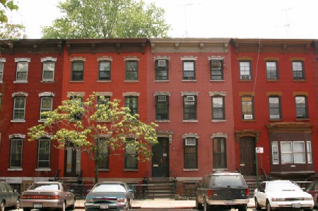
The area that is now called Mott Haven was originally owned by the Morris family. A small part of the larger swath of land known as Morrisania, it was purchased by Jordan Mott for his iron works in 1849. As the city below grew, the area quickly developed residentially. At the same time, an upper-middle class residential area, marked by brownstones built in an elaborate and architecturally daring fashion, started to grow along Alexander Avenue by the 1890s. Soon after, the Bronx grew more quickly, especially with public transit into the area, including the IRT Lexington Avenue Line. By the early 20th century, the population density of the area supported the construction of many tenement style apartment buildings. From the 1870s to the early 1920s, there was a heavy German, and German-American concentration. There was a heavy German-Jewish concentration on East 149th Street and North. The Irish and Irish-Americans became the dominant ethnic group in the 1930s, and their restaurants, taverns and dance halls lined Willis Ave., and E. 138th St. It was the German Catholic population which built St. Jerome’s Church, the Basilica of the Bronx.
Mott Haven and Port Morris were the first neighborhoods to give rise to the term “South Bronx”. In the 1940s when the Bronx was usually divided into the East Bronx and West Bronx, a group of social workers identified a pocket of poverty in along East 134th Street and called it the South Bronx. This pocket of poverty would spread in part due to Robert Moses building several housing projects in the neighborhood. The poverty greatly expanded northward, following the post-war phenomenon colloquially referred to as white flight, reaching a peak in the 1970s when the socioeconomic North Bronx-South Bronx boundary reached Fordham Road. At this time a wave of arson destroyed or damaged many of the residential, commercial, and industrial structures in the area. Today the North Bronx-South Bronx distinction remains more common than the traditional East Bronx-West Bronx distinction, and some still regard Fordham Road as the boundary.
After a wave of arson ravaged the low income communities of New York City throughout the 1970s, many if not most residential structures in Mott Haven were left seriously damaged or destroyed. The city began to rehabilitate many formally abandoned tenement style apartment buildings and designate them low income housing beginning in the late 1970s. Also many subsidized attached multi-unit townhouses and newly constructed apartment buildings have been or are being built on vacant lots across the neighborhood.


